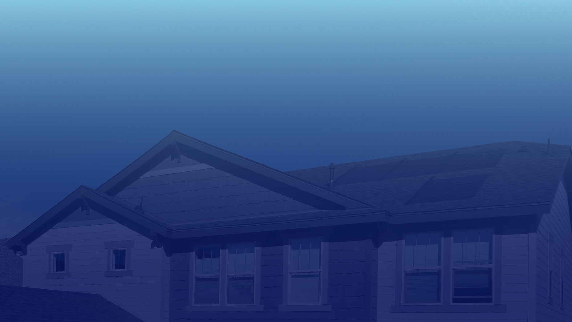
Aerial Photography & Videos - Strategic Visual Intelligence
FAA Part 107 Certified Drone Pilot & Operator Based in Lafayette, Louisiana, USA
I deliver aerial photographs and videos that enable data-driven decisions with precise documentation, surveying, reporting, mapping, thermal imaging, impactful marketing communications, awe-inspiring visuals, and more.
Every project reflects my commitment to meticulous planning, with unwavering focus on safety, compliance, excellence, and goodwill.
I invite you to discover & experience more:

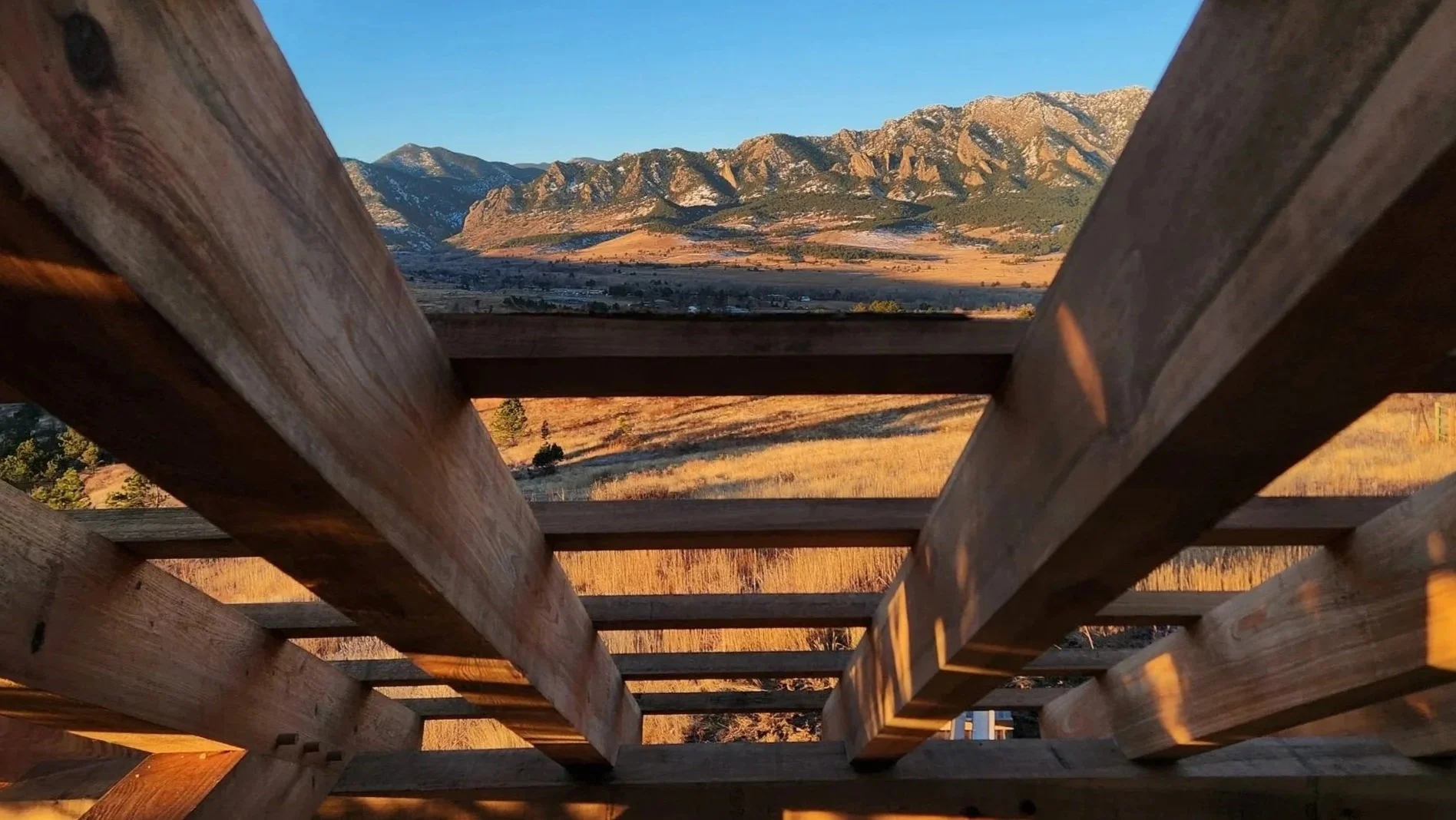
CONSTRUCTION PROGRESS MONITORING
Struggling with coordination conflicts, schedule compression, or stakeholder alignment issues?
I enable construction teams to solve operational challenges using strategic reality capture technology:
> Catch coordination conflicts before they become costly change orders
> Document critical milestones for stakeholder alignment and reporting
> Verify safety compliance and identify anomalies immediately
> Create visual evidence that reduces RFIs and disputes
> Build an immutable project record that protects your team
This isn’t just photography—it’s operational intelligence that gives you control over project outcomes. My construction progress monitoring services give you high-quality visual intelligence over your projects—captured at whatever frequency your schedule demands. I provide verifiable UAV and ground photography services for safety compliance, immediate anomaly detection, and rapid site mapping that help project teams minimize risk and maximize operational efficiency.
AERIAL VIDEO PRODUCTION
[this is my favorite]
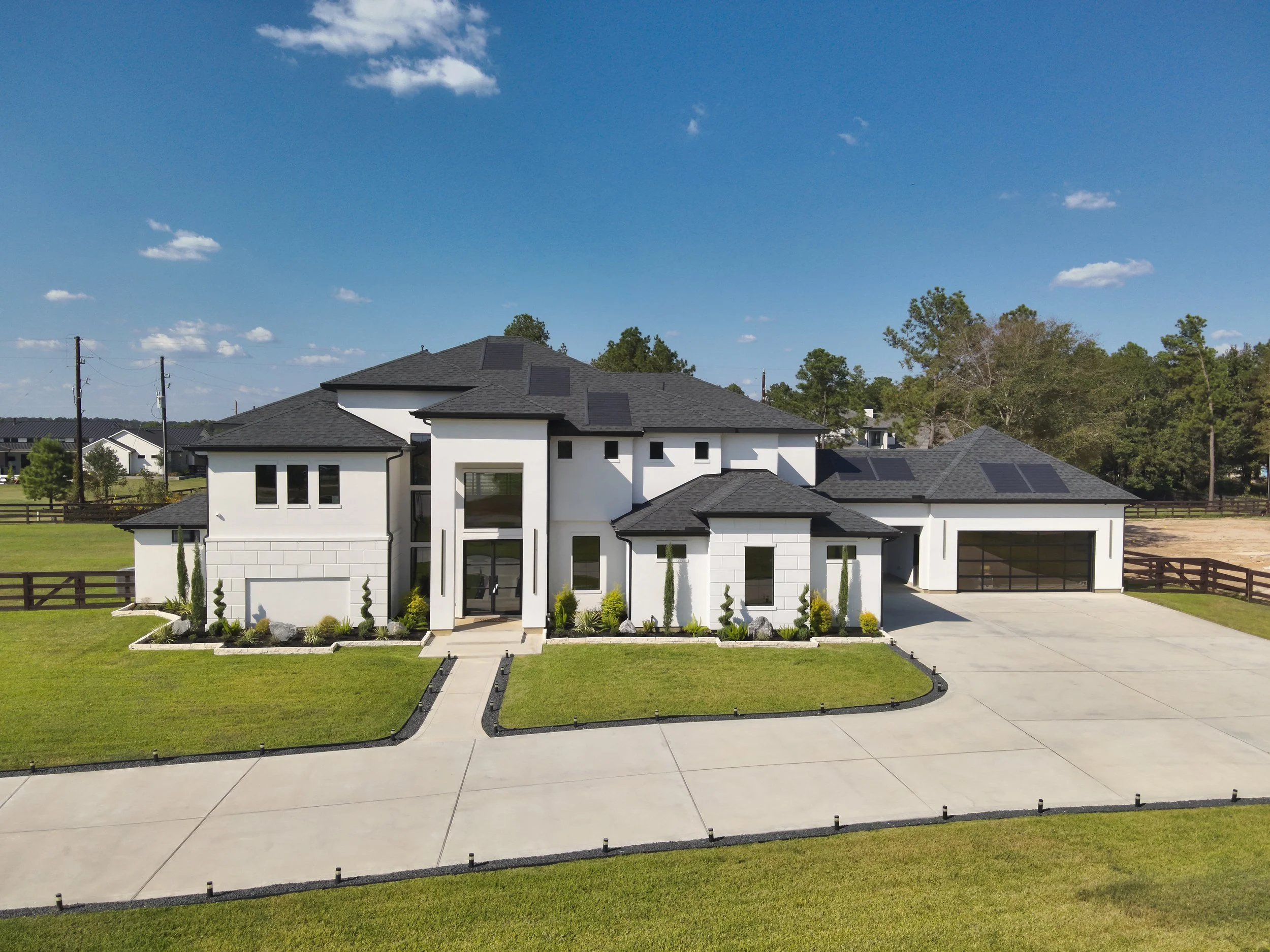
MARKETING PHOTOGRAPHY
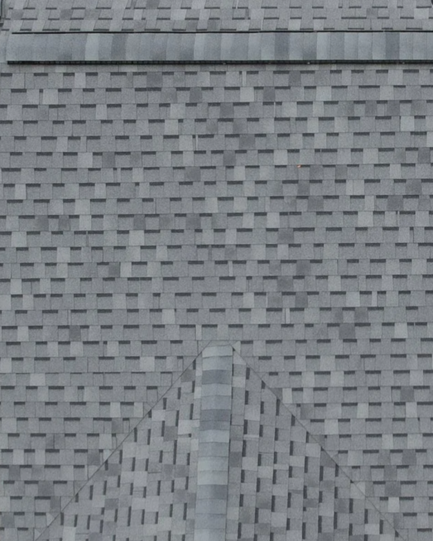
ROOFING REPORTS
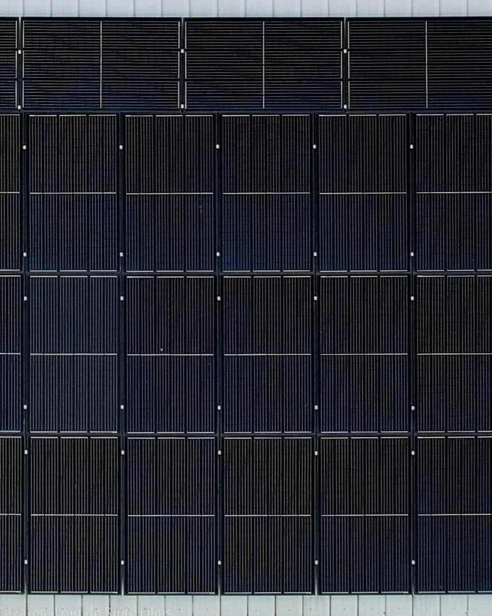
SOLAR MONITORING

AERIAL THERMAL IMAGING
Ready to connect? Contact me for a quote or to chat about your project:
GET A QUOTE:
